|
FIELD CE GIS PRODUCT PRICING GUIDE |
|
|
|
||||
|
|
|
|||||
|
|
||||||
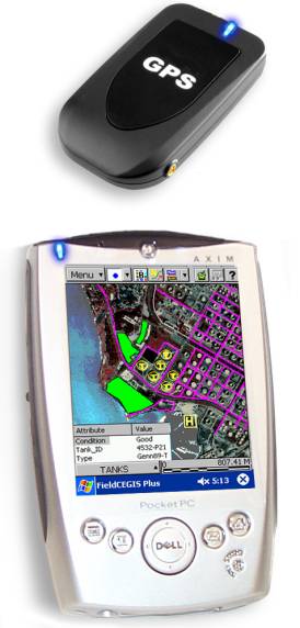
Field CE GIS Supports
4
Shapefiles and image data 4 Detailed,
colorful BaseMap background data 4 Wireless
GPS and other data collection 4 Distance
and Area measurements on the spot 4
Interface with desktop GIS |
4 Offset
Points or Traverse Points when GPS signal not available 4 Images:
load aerial photos or topo maps in the background 4 Storage of
GIS Feature, Attribute, and Value data 4 Point/Line/Area
symbol and pattern libraries 4 Coordinate
system conversion on the fly |
|||||
|
Prices
effective August 26, 2004. All
prices subject to change without notice. © CMTINC.COM
2005 |
|