| |
Cruise Methods:
100% Cruise
Measure/Count Tally
Fixed Area Plots
Prism Points
Double-Point by Point
Double-Point by Tree
Strip Method
VBAR Tally
|
|
Volume Methods:
Built-in Stem Profiles
Built-in Volume Equations
Mesavage/Girard Volume Tables
NVEL Volume Estimator Library
User-defined taper,
volume equations/tables,
VBAR equations/tables, and
Ratio equations
|
|
Data Entry and Reporting:
Point & Shoot tree data entry
Multi-product data entry
#Logs <—> Merchantable Height
Extensive error-checking
Tree Volume Display
Exclude Trees, Plots or Stands
Volume reports for Tract/Stand/Plot
Statistics reports
|
|
|
Supports:
"Big BAF"
Height Sub-sampling
Tarif Method
Cumulative Tally
|
Setup:
Merchandizing specs
User-defined
data fields,
DBH, and mechantable heights
Save/Load Cruise Setup
|
You can do these and more:
Compute required #sample
plotse
Merchandize
based on tree profile
Combine Cruises
Display
Stand acreage by classes
|
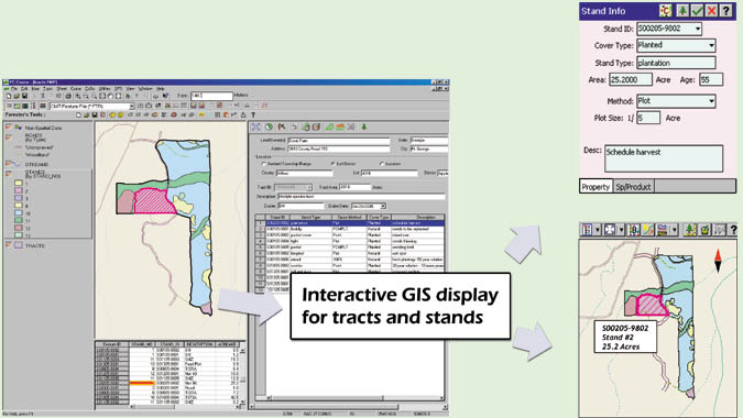
| GPS/GIS:
Record Features with
Attributes/Values
Navigation & Stakeout
|
Geo-reference Aerial Photos
Merge area boundaries
Set Image/Area Transparency
|
Show Distances and Acreages
Interface with Google
Earth®
Save completed map as image file
|
Cruising Grid
Deed Calls
Coordinate Geometry
|
Digitize Points/Lines/Areas
Label map
elements
Forester's Toolkit
|
Import/Export (MS®Excel/Access):
Feature Lists, Shape Files
Cruise data, Feature data
|
 ;
;