Home

MS PowerPoint Presentation

Brochure

Demo Software

Function list

Pricing


New ! GIS-Based CogoCAD PRO with Road Design and Contour/Volume : $385.00 + S/H.


CogoCAD PRO is a software program used in :


Surveying

Landscaping

Irrigation

Forestry


Archaeology

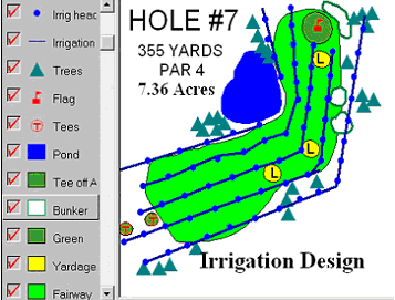
Golf Course Mapping

Graphic Design


and other professions for managing data, designing survey plats, and generating maps.
CogoCAD PRO works with Total Station survey data, GPS/GIS data, background images, Basemaps, and others.
It lets you view and edit measurement data as well as coordinate data.


Primarily, CogoCAD PRO provides an interface to:


•

Download data from survey data collectors


•

Import data in ASCII, DXF, Shape File, and other formats


•

Adjust raw data, coordinates and traverse data


•

Add other GIS data to your map


•

Geo-reference and display background image


•

Digitize points, lines and polygons


•

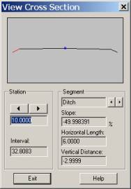
Design roads ¡VView road cross-section by segment at any station


•

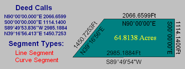
Create Deed Calls


•

Apply advanced labeling functions to segments, angles and areas


•

Print out the finished map; print data to printer or to a file


•

Perform extensive Coordinate Geometry (COGO) functions:


⊕

Inverse/Traverse

⊕

2-Pt Resection

⊕

T/R/S Least Square Fit


⊕

Intersection

⊕

3-Pt Resection


(adjust to benchmarks)


⊕

Corner Angle

⊕

Spiral Curve

⊕

Translate/Rotate/Scale


⊕

Direction Cut

⊕

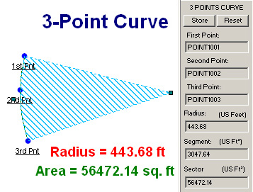
3 Point Curve

⊕

Station Offset


⊕

Hinge Cut Area

⊕

Vertical Curve


•  Known Station and Offset


⊕

Radius Point

⊕

Horizontal Curve


•  Known Coordinates


⊕

Multiple Points

⊕

Curve By Radius


•  Known Measurement


⊕ Curve between Tangents  

•  Known Offset

 
     Golf Course      Surveying  


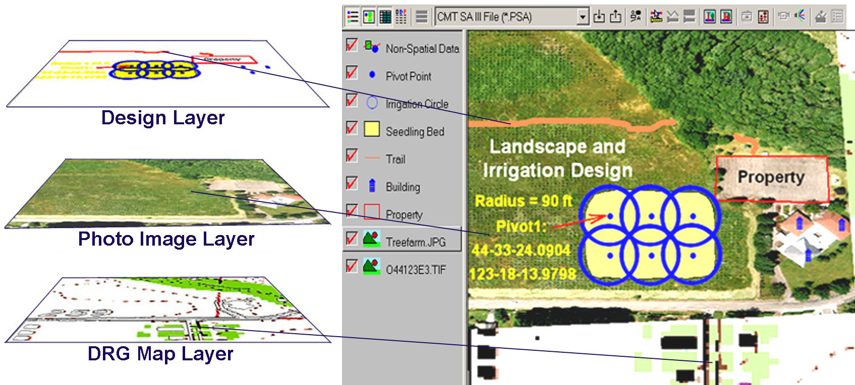
CogoCAD PRO GIS Mapping Functions and Utilities:


•

Contour/Volume

•

Earthworks

•

Solar/Star Observation


•

Feature Topic

•

Assign Symbol by Topic

•

Road Design


•

Heads-up Digitizing

•

Patterns and Symbols

•

Zoom & Pan Tools


•

GIS Layering

•

Georeferenced Images

•

Plot Preview


•

Supports BaseMaps

Supported formats include:

•

Import & Export


•

Marker Labeling


•   Geotiff

•

Easy File Transfer functionality


•

Area Labeling


•   GeoJPEG

•

Attach Photos & Video


•

Segment Labeling


•   MRSID® & ECW formats

• Adjust transparency of image and Area Features  
 

•

Angle Labeling


•   JPEG2000


Home

MS PowerPoint Presentation

Brochure

Demo Software

Function list

Pricing