Microsoft® Windows
MobileTM 5.0/6.0
(Pocket PC)
Built-in GPS and built-in
GPS Antenna:
· Good
performance under tree canopy
·
Typical accuracy: 1 to 5 m (real-time)
Automated Software Installation
Data Integrity and
Validation Integrity
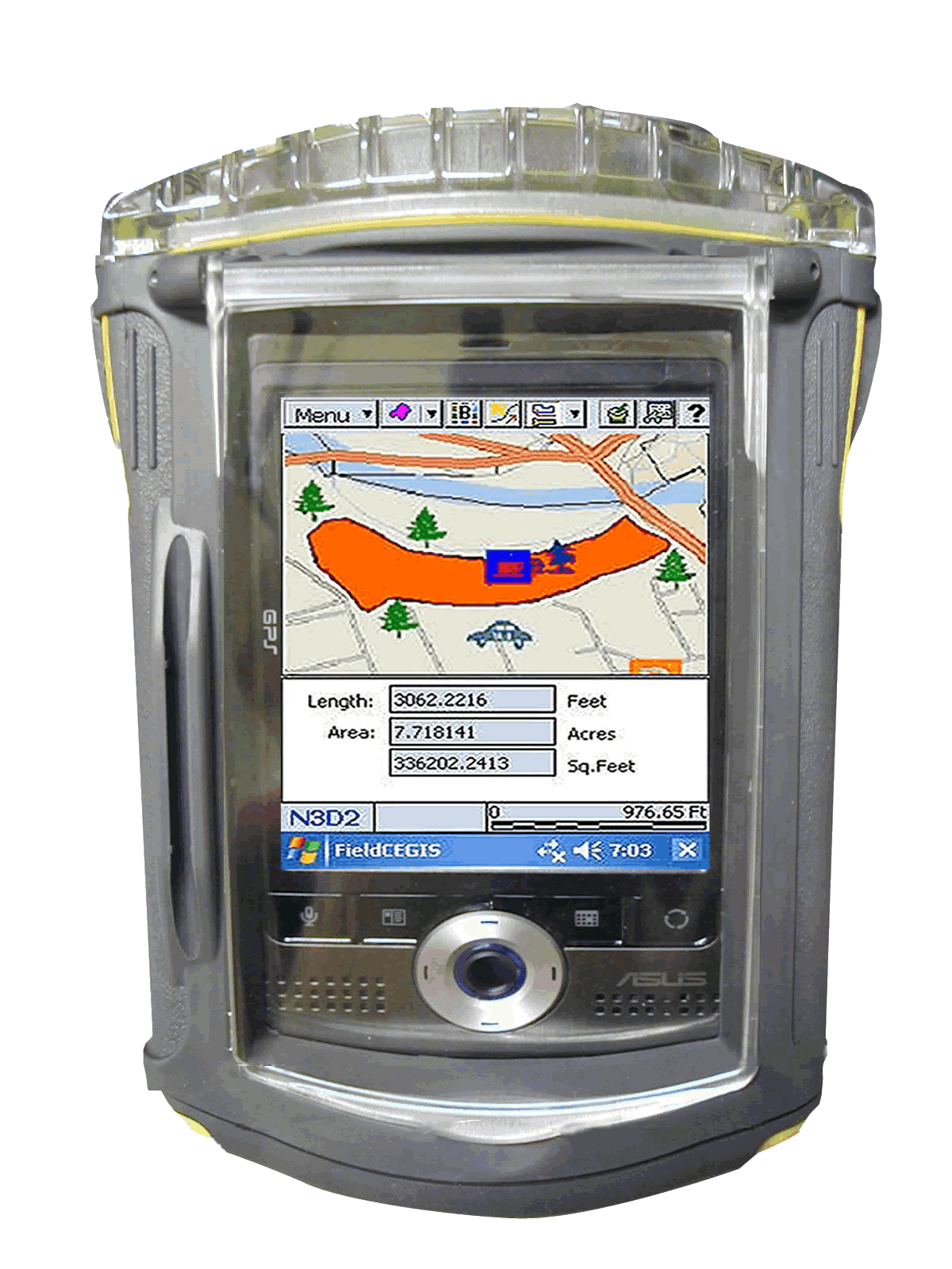
in waterproof case
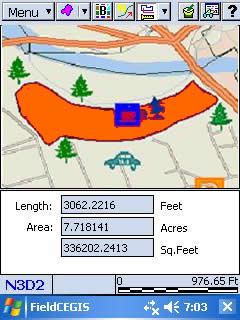
Actual example from Horton Tree Farm
(900,000 board feet) in Oregon:
·
Mature and high density Douglas Fir trees
on 40 acres
·
Wet ground and wet trees in December 2006
·
Most GPS would fail under such heavy canopy
·
Built-in GPS still performed very well
·
Area measurement error approximately 0.5%
·
Consistent tracking even under heavy
canopy
·
PDA survived harsh conditions
· Optional waterproof case available
Optional software installation available: CE Surveyor III or CE-Cruise
Rugged Waterproof Case:
Work in rain without worries.
No need to open the case during field work.
See through the crushproof
plastic case (with hand strap).
Access the touch-screen
through the protective film.
Access the CF and SD slots through the top of the case.
Turn off the PDA via the CMT software.
(Turn it back on by pressing the Keyboard key on the PDA.)
Easily open the case in the office.